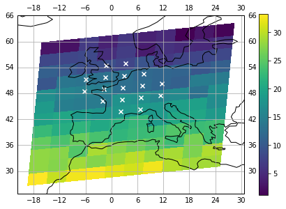
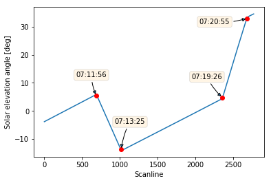
Simulating a spectrometer limb observations
In some circumstances, a spectrometer sensor on board of a satellite might be observing diagonally through the halo that surrounds the Earth (limb-viewing). In this post, we are going to model the atmosphere at a given tangent height (defined as the minimum distance between the light path of measurement and the oblate Earth surface) and calculate a spectrometer response given its instrumental spectral response function (ISRF).
We are going to simulate atmosphere’s radiative transfer model by means of RFM, a Fortran application for which I showed a compilation approach in a previous post.